AFS Drone Services


Survey/Mapping
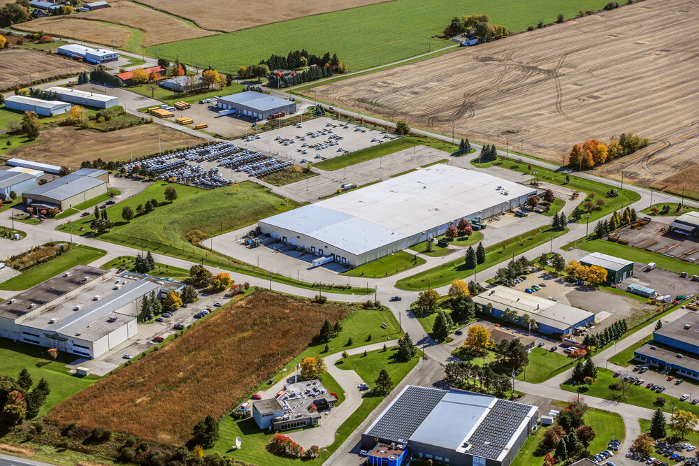
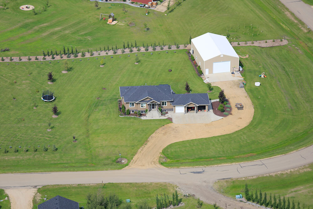
Giving you the ability to turn aerial images of large land parcels into maps.

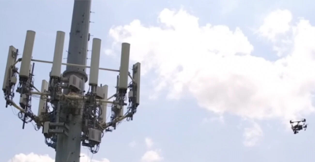
Inspection
Collect important data utilizing our aerial imaging services

Giving you the ability to turn aerial images of large land parcels into maps.
Collect important data utilizing our aerial imaging services